Dyrhólaey
Cliff
Southern Region
63.398383,-19.126731
~1 hour
-
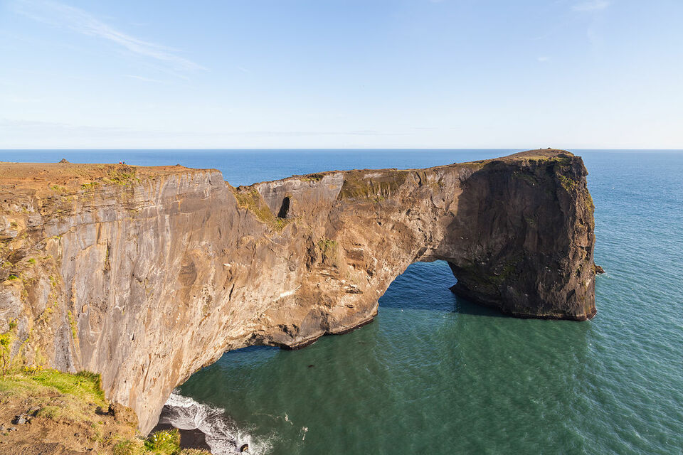
Dyrhólaey is a stunning coastal promontory located in Iceland's South Coast. This natural wonder is renowned for its dramatic arch-shaped rock formation that juts out into the North Atlantic Ocean, creating an awe-inspiring gateway like no other.
Dyrhólaey's key features include its majestic rock arch, rugged cliffs, and panoramic views that stretch from the white sands of Reynisfjara Beach to the vast Mýrdalsjökull glacier. The area is also a haven for birdwatchers, especially during the summer months when puffins nest along the cliffs, offering a spectacular sight.
Located near the village of Vík í Mýrdal, Dyrhólaey is easily accessible via the Ring Road, making it a convenient stop for travelers exploring Iceland's southern coastline. The promontory's highest point offers a historic lighthouse, built in 1927, which adds a charming touch to the already picturesque landscape.
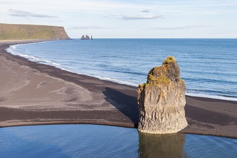
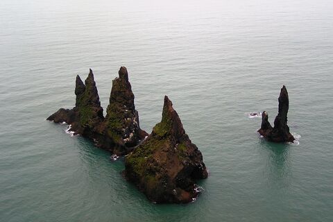
Nearby attractions include the famed Reynisfjara Beach with its striking black sand and basalt sea stacks, and the serene Skógafoss waterfall, one of Iceland's largest and most beautiful waterfalls.
Image of Dyrhólaey

Where is Dyrhólaey located?
Dyrhólaey ➤ 63.398383,-19.126731
Parking 1 ➤ 63.404003,-19.129043
Parking 2 ➤ 63.404817,-19.107006
Attractions near Dyrhólaey
Frequently asked questions
Do you need a 4x4 to reach Dyrhólaey?
No, Dyrhólaey is accessible via a well-maintained road, and a 4x4 vehicle is not necessary. However, be cautious during winter months as weather conditions can affect road safety.
When is the best time to visit Dyrhólaey?
The best time to visit Dyrhólaey is during late spring and summer (May to August) when puffins are nesting on the cliffs, offering stunning wildlife photography opportunities.
Can you walk on the arch at Dyrhólaey?
Walking on the natural arch at Dyrhólaey is not permitted for safety reasons. However, you can enjoy breathtaking views of the arch from designated viewpoints.
What unique features does Dyrhólaey offer?
Dyrhólaey is famous for its dramatic coastal scenery, including a massive volcanic arch, black sand beaches, and panoramic views of Iceland's South Coast.
How long does it take to get to Dyrhólaey from Reykjavik?
The drive from Reykjavik to Dyrhólaey typically takes about 2.5 to 3 hours, depending on weather and road conditions.
Are there any entrance fees for visiting Dyrhólaey?
No, there is no entrance fee to visit Dyrhólaey, making it an accessible destination for travelers looking to explore Iceland's natural beauty.
Is Dyrhólaey suitable for birdwatching?
Yes, Dyrhólaey is a popular spot for birdwatching, especially during the nesting season when puffins and other seabirds are abundant.

