Askja
Volcano
Northeastern Region
65.030438,-16.746887
4X4
~2 hours
-
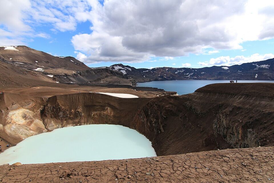
Askja is a magnificent caldera located in the central highlands of Iceland. Known for its impressive size and striking volcanic features, Askja is a part of the Vatnajökull National Park and offers an awe-inspiring glimpse into the island's volcanic landscape. The caldera, measuring approximately 50 square kilometers, was formed during a series of eruptions, the most significant of which occurred in 1875, leaving behind a dramatic, rugged terrain that is both otherworldly and captivating.
A key feature of Askja is the mesmerizing blue crater lake, Öskjuvatn, which is one of the deepest lakes in Iceland, reaching depths of up to 220 meters. Nearby, visitors can also find Víti, a smaller geothermal lake with warm, milky blue waters that are ideal for a unique bathing experience. The surreal landscapes of Askja, characterized by its dark lava fields and stark volcanic cones, provide an extraordinary setting for hikers and explorers.
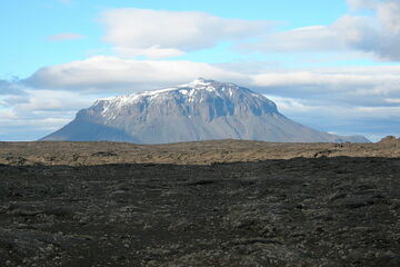
Located in the northeastern part of Vatnajökull National Park, Askja is best accessed by a 4x4 vehicle, as the journey involves traversing rugged, highland tracks. The remote location adds to its allure, offering solitude and a profound connection with Iceland's raw nature. Nearby attractions include the impressive Herðubreið, also known as the 'Queen of Icelandic Mountains,' and the vast volcanic deserts of the Odadahraun lava field.
Image of Askja


