Laki
Volcano
Southern Region
64.070189,-18.236308
4X4
~3 hours
-
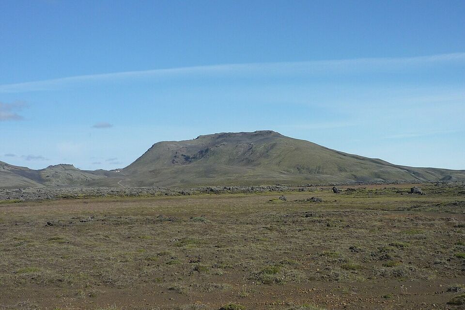
Laki, a remarkable volcanic fissure, is located in Iceland's Southern Highlands. This extraordinary site is renowned for its historic eruptions in 1783-1784, known as the Skaftáreldar (Skaftá Fires), which produced one of the largest lava flows in human history, drastically altering the landscape and the climate worldwide. The aftermath of the eruption left an immense chain of craters stretching over 25 kilometers.
Laki's key features include its dramatic series of volcanic craters, lava fields, and stunning vistas of rugged terrain. The fissure comprises around 130 craters, creating a visually striking landscape of jagged peaks and deep valleys. The lava fields, covered in lush green moss during the summer, offer a stark contrast to the dark, barren volcanic rock, highlighting Iceland's diverse and otherworldly geology.
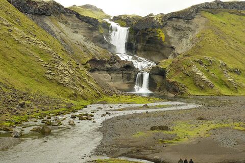
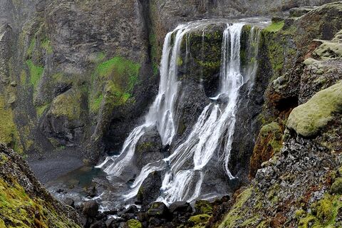
Situated in Vatnajökull National Park, Laki can be accessed via the F206 mountain road. A 4x4 vehicle is recommended due to the challenging terrain and river crossings. The remote location provides a unique opportunity for solitude and immersion in untouched nature. Nearby attractions include Fjallabak Nature Reserve, known for its colorful rhyolite mountains, and the Fjaðrárgljúfur canyon, a stunning river canyon with steep, moss-covered walls.
Image of Laki

Where is Laki located?
Attractions near Laki
Frequently asked questions
Do you need a 4x4 to reach Laki?
Yes, a 4x4 vehicle is necessary to access Laki due to the rough terrain and river crossings along the F206 mountain road. The road is typically open from June to September, depending on weather conditions.
What is the best time of year to visit Laki?
The best time to visit Laki is during the summer months, from June to September, when the highland roads are open. During this period, the weather is milder and access to the site is manageable with the right vehicle.
What makes Laki a unique destination?
Laki is renowned for its dramatic volcanic landscape, characterized by the Laki Fissure, a series of volcanic craters formed during a massive eruption in the 18th century. The area offers unparalleled views of craters, lava fields, and verdant moss-covered landscapes.
Are guided tours available for Laki?
Yes, guided tours are available and recommended for visiting Laki. These tours provide valuable insights into the geological and historical significance of the area and ensure a safe experience navigating the challenging terrain.
Can you hike in the Laki area?
Yes, there are several hiking trails around the Laki craters. Visitors can enjoy various hikes ranging from short walks to more challenging routes, offering breathtaking viewpoints and opportunities to explore the unique volcanic features up close.
How far is Laki from Kirkjubæjarklaustur?
Laki is approximately 50 kilometers (31 miles) from the village of Kirkjubæjarklaustur. The drive takes about 2 hours due to the rough and unpaved road conditions.
Is Laki accessible for everyone?
Access to Laki requires a certain level of physical fitness to navigate uneven and steep paths. Caution is advised, and proper footwear is essential. Those with mobility issues should assess the road and hiking conditions before visiting.


