Thórsmörk
Mountain
Southern Region
63.686676,-19.520996
4X4
~6 hours
-
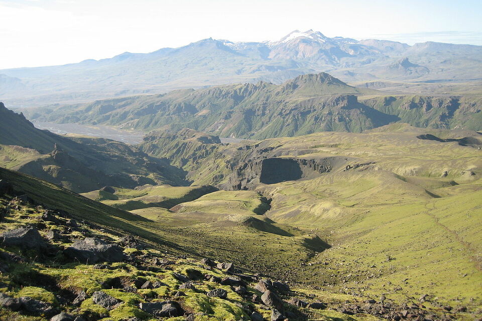
Thórsmörk is a striking valley located in the southern highlands of Iceland, carved between the glaciers Tindfjallajökull, Mýrdalsjökull, and Eyjafjallajökull. Named after the Norse god Thor, this valley is a haven for hikers, offering a captivating blend of lush green forests, rugged peaks, and magnificent glacial rivers.
Thórsmörk is distinguished by its stunning vistas, diverse flora, and the dramatic landscapes formed by past volcanic activity. The valley offers numerous hiking trails, including the renowned Laugavegur trail, which connects Thórsmörk to Landmannalaugar. The Fimmvörðuháls hike, a challenging trek that starts from Skógar, culminates in the awe-inspiring beauty of Thórsmörk, passing by the craters formed by the 2010 Eyjafjallajökull eruption.
Situated in Iceland's southern region, Thórsmörk is accessible by specially adapted buses that navigate the rough terrain and cross glacial rivers. These adventures lead to a paradise for nature enthusiasts, as the valley offers a variety of landscapes, from lush birch forests and glacial rivers to dramatic canyons and mountain ridges.
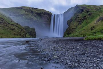
Nearby, travelers can explore other attractions such as the Seljalandsfoss and Skógafoss waterfalls, both known for their spectacular beauty. The Eyjafjallajökull eruption site also offers insights into Iceland's volcanic activity and its impacts on the surrounding environment.
Image of Thórsmörk


