Kristínartindar
Hiking
Southern Region
64.015418,-16.967155
~8 hours
-
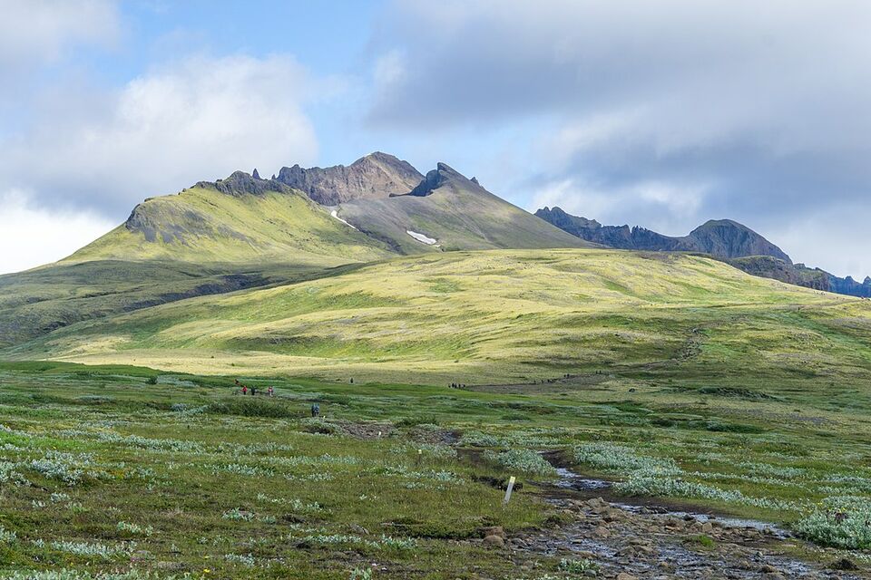
Kristínartindar is a stunning mountain peak situated in the Skaftafell region of Vatnajökull National Park in Iceland. Known for its challenging yet rewarding hike, Kristínartindar offers breathtaking views of the surrounding glaciers, valleys, and rugged terrain, making it a must-visit for hikers and nature enthusiasts.
The trail to Kristínartindar is approximately 18 kilometers round trip and takes about 6-8 hours to complete. What sets this trail apart is its diverse landscape, ranging from lush green valleys to stark glacial ridges. As you ascend, you will encounter a variety of flora and fauna, along with panoramic views of Morsárdalur Valley and the impressive Morsárjökull Glacier. The highlight of the trek is reaching the summit, where you'll be greeted with a 360-degree vista of Iceland's largest glacier, Vatnajökull, and the surrounding peaks and valleys.
Located in Southeastern Iceland, Kristínartindar is accessible from the Skaftafell Visitor Center in Vatnajökull National Park. The visitor center serves as a starting point for many of the park's trails and offers amenities such as restrooms, a café, and informational exhibits about the park's natural and cultural history.
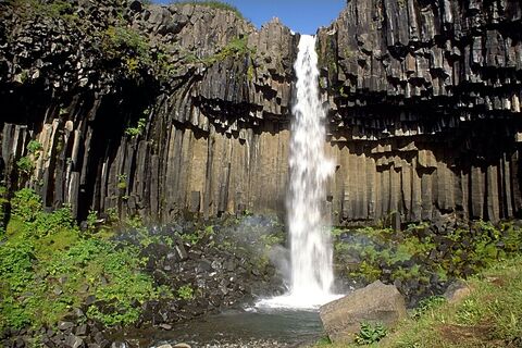
While exploring Kristínartindar, don't miss other nearby attractions such as the picturesque Svartifoss waterfall, known for its unique basalt column formations, and the glacial lagoon Jökulsárlón, where you can witness floating icebergs and possibly even spot some seals. The rich diversity of landscapes and experiences in the Skaftafell region ensures a memorable adventure for every visitor.
Image of Kristínartindar

Where is Kristínartindar located?
Download GPX file
Kristínartindar ➤ 64.015418,-16.967155
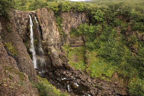
Attractions near Kristínartindar
Frequently asked questions
Do you need special equipment to hike Kristínartindar?
Yes, hiking Kristínartindar requires good hiking boots, layered clothing, and possibly crampons or walking poles, especially if snow is present. Always check weather conditions before the hike.
When is the best time to hike Kristínartindar?
The best time to hike Kristínartindar is from late June to early September when the trail is mostly free of snow and weather conditions are favorable for hiking.
How difficult is the hike to Kristínartindar?
The hike to Kristínartindar is considered challenging due to steep ascents and rocky terrain. It usually takes about 6 to 8 hours for a round trip, so it's recommended for experienced hikers.
Are there guided tours available for Kristínartindar?
Yes, guided tours are available and can be beneficial for those unfamiliar with the area. Guides provide valuable insights into the landscape and ensure safety on less marked paths.
What are the unique features of Kristínartindar?
Kristínartindar offers stunning panoramic views of the surrounding glaciers and mountains in the Skaftafell area, particularly of the Skaftafellsjökull glacier and Vatnajökull National Park.
How do you reach the starting point for Kristínartindar?
The hike begins from the Skaftafell Visitor Center in Vatnajökull National Park, which is accessible via the Ring Road. There is ample parking available at the visitor center.
Is there any accommodation available near Kristínartindar?
Yes, there are several accommodation options near Skaftafell, ranging from campsites and guesthouses to more comfortable hotels, allowing hikers to stay close to the trailhead.

