Almannagjá
Canyon
Southern Region
64.259183,-21.123405
~1 hour
-
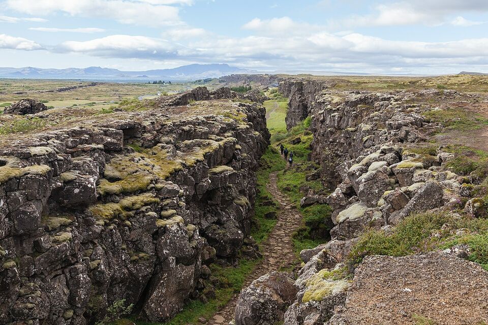
Almannagjá is a spectacular geological rift located within Þingvellir National Park, one of Iceland's most historically and geologically significant sites. This stunning gorge is part of the Mid-Atlantic Ridge, where the North American and Eurasian tectonic plates meet, creating a dramatic landscape that showcases the immense power of geological forces.
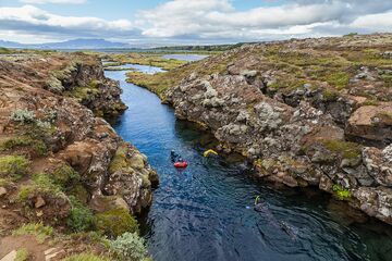
The key feature of Almannagjá is its striking fissure, which forms a dramatic natural walkway between towering rock walls. As you stroll through the rift, you'll be walking along the boundary between two continents, making it a must-visit location for geology enthusiasts. The rift's unique formations and the clear water of the Silfra fissure, a popular diving and snorkeling spot, enhance its allure.
Almannagjá is situated in southwestern Iceland, within the Golden Circle, a popular tourist route. The national park is easily accessible from Reykjavík, making it a convenient day trip for visitors to the capital.
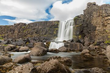
Nearby, you can explore the historic Alþingi, the site of Iceland's first parliament, established in 930 AD. Additionally, the area offers other attractions such as the stunning Öxarárfoss waterfall and Þingvallavatn, Iceland's largest natural lake, providing ample opportunities for exploration and adventure in this historically rich and visually stunning region.
Image of Almannagjá

Where is Almannagjá located?
Almannagjá ➤ 64.259183,-21.123405
Parking 1 ➤ 64.255548,-21.136140
Parking 2 ➤ 64.255492,-21.124327


